


Points of interest
1. Trailhead
Departure from the parking lot of the Aubigny sports hall.

2. The Tournerie
Remarkable dwelling located near the chemin d'Aubigny in Bourbon (La Roche-sur-Yon) in 1823. This estate then included a master's dwelling and a smallholding. This land, partly acquired by the municipality in the 1980s, allowed the creation of the leisure park and the construction of the EHPAD.
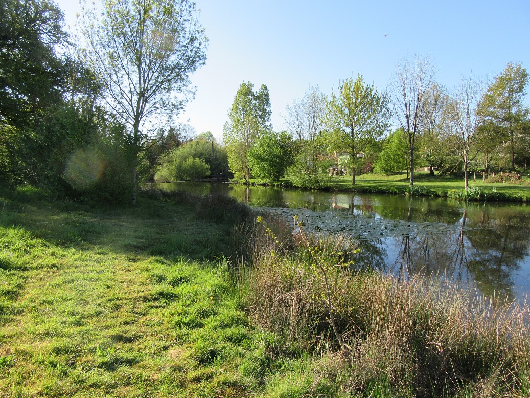
3. Moulinet Fountain
Means "small mill" because it appears on the old cadastres (1823 and 1842) near the mill of Bourbes completely disappeared since.

4. Village of Colette
Mentioned in 1469, then belongs to Guillaume du Bourg, lord of La Routière, was sold as national property on 25 brumaire year 5.

5. The Treats
This term refers to fallow land, in Poitevin we always say "dégatae" to clear land.

6. La Routiere
As its name suggests, La Routière, where traces of Gallo-Roman ruins have been found, is at a crossroads. It is a village located on the Gallo-Roman road from Saintes to Beauvoir, coming from the Domangère going to the Soulinière des Clouzeaux by crossing the Yon near the Frelatière. There are very old writings from 1395 relating to this place. This dwelling was the refuge of the priest Chabot during the Vendée wars, from where he could watch the arrival of the Republican troops. This area was sold as national property on 20 germinal year 6. In 1900-1910, you could still see the double porch characteristic of old Vendée houses.

7. Flat Stone
Small bridge made of a really impressive flat stone, which gave its name to the path. It would be in "micashist" not widespread in the region and its origin is enigmatic. It seems to have been there since the Middle Ages and served as a bridge for people on foot to avoid the ford which was crossed by horses and even carts. It probably had a wooden railing which has disappeared over the years and makes it possible to cross the Jarrie stream which constitutes the demarcation with the commune of Nesmy.

8. Bridge over the Ornay
The variant continues by the ancient path from Aubigny to Bourbon which first crosses the Ornay (a tributary of the Yon and waters the south of the agglomeration of La Roche-sur-Yon) then the Yon to Moulin Nine.

9. New Mill

10. Causeway of Brancaire
The path runs along the Yon to the crossing of Brancaire (La Branquère according to the Cassini map) where there was a water mill (cadastre of 1811).

11. La Lairiere
Your itinerary
AUBIGNY-LES-CLOUZEAUX
After having skirted the Yon from Moulin neuf to Brancaire, the return passes through the town of Nesmy via the Lairière and the Vrignaudière. At La Routière, a variant allows you to go to the flat stone (remains of a Gallo-Roman bridge) on the Jarrie stream.
To hike well, we invite you to
- Respect protected areas
- Stay on the trails
- Do not throw away your waste
- Be discreet
- Do not make fire
There are several sections on the circuit that can be soggy. Better to have suitable shoes.
To hike well, we invite you to
- Respect protected areas
- Stay on the trails
- Do not throw away your waste
- Be discreet
- Do not make fire
There are several sections on the circuit that can be soggy. Better to have suitable shoes.